

 |
|||||||||||||||
| Species & Habitat | |||||||||||||||
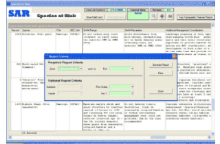
SPECIES AT RISK (SAR) DATABASE The Species at Risk (SAR) database is a site-series based management tool developed specifically for the Biogeoclimatic Ecosystem Classification (BEC) variants within a particular Timber Supply Area (TSA). The database employs TRIM, FCI (Forest Cover Inventory), and PEM variables and data for potential Species at Risk habitat mapping and GIS analyses. |
 |
SAR database LATEST UPDATES |
|||||||||||||
 |
|||||||||||||||
The key functions of the database are:
Automated in MS Access, the SAR database has been structured to provide both detailed information for office use and summarized management information in the form of a field card. The field card provides both the indentifier features for a particulat variant, and a management guide for each SAR. The potential occurence of a SAR within a particular variant is established through the identification of that species' habitat capability (terrain) and suitability (forest cover or grassland features, depending on the species). If the unique suite of requisite features indicated on the field card is present, the management guide provided is then followed. The indicated management guide directs the user with a set of cover features, depending on the species). If the unique suite of requisite features indicated on the field card is present, the management guide provided is then followed. The indicated management guide directs the user with a set of cover features that should be retained and how (partial cut vs. clearcut with reserves, WTP or reserve design, access development, etc) as well as where, in terms of terrain features (ie: riparian, steep south aspect slopes, etc), when relevant. |
|||||||||||||||
 |
|||||||||||||||
 |
 |
 |
|||||||||||||
Forest Management / Species & Habitat / GIS & Mapping / Company / Contact Us |
Copyright 2009 © Cascadian Natural Resource Consultants |
||||||||||||||
Website design by blacksheepgraphics.ca |
|||||||||||||||